Alum Rock Park***
Top Locations:
1. Hot Springs Ruins
2. Eagle Rock
3. Penitencia Creek
4. Alum Rock Backcountry
Time for Visiting: 1-4 hrs
Distance: ~13km
Cost: $0 (Parking Residential), $10 (For Parking)
Best Season: Spring, Fall
Bring: Camera, hiking boots, water
Difficulty: Moderate- : Paved or dirt roads, flat trails running along Penitencia Creek, elevated trails going into the hills.
Introduction
When farmers first visited the area what is now the park, they encountered rocks glistening in the sun. Thinking that it was alum, the area was called Alum Rock. The shiny rock was actually thenardite, and no alum is present in Alum Rock Park.

Alum Rock Park is one of the oldest city parks in California, and for decades has been a popular picnic spot for the Santa Clara Valley locals. The park was established 1866 as "the Reservation", courtesy of the state, and the City of San Jose devoted great expense to build a narrow 11km brick road to the park. This turned out to be beneficial, as people soon got interested in a geothermically active spot in the Creek. In the 1870s Alum Rock Park became a popular hot springs resort, with some 21 springs that were linked to bath houses and a large swimming pool popularized by the people of Victorian San Jose. A flood in 1911 destroyed most of the buildings, but popularity continued through WWI and WWII by troops posted in nearby military bases. The 1950s was the peak of the park, with thousands of visitors partaking in the rides, zoos, dance pavilion and the baths. As the park grew seedy, visitation declined, and eventually most of the amusement park attractions were torn down in the 1970s. Alum Rock has been partially restored to its natural state. The El Nino floods of 2000 destroyed the main road to Alum Rock Park, leaving only the roundabout Penitencia Entrance open, which had the benefit of leaving the park much less visited than would be expected.
To Visit
From Downtown San Jose,take HWY 280E. HWY 280 becomes HWY 680. Exit East at McKee Road. Make a left at Capitol Expressway. Turn right at Penitencia Creek Rd and drive to the end. The Penitencia Entrance has a pay booth, but if you turn right at the Rock Canyon Circle you can usually find a sidewalk parking spot for free. Be careful walking the 320m to the park entrance. An alternative (the original) route is to take Alum Rock Avenue until the very end, find a location to park, and then take the Service Road 0.6km to the Railroad Bridge and Alum Rock.
From the Penitencia Entrance, take the Penitencia Creek Trail on the
right, which winds along the namesake creek. As
you work your way through the rocky area of the trail, note the bridge near which Penitencia Road curves around the canyon.
This was once the site of what was known as the Alum Rock Meteor, a
massive rock that may or may not have actually been a meteor. For
decades, the "meteor" was a popular tourist attraction for the park.
Then WWI broke out, and the meteor was found to contain manganese,
important in some forms of steel production. Seeing a profit-making
opportunity, the City of San Jose sold the 2000-ton rock to a miner for
$22,000. Only when the miner had destroyed the rock, he only managed to
extract out 39 tons and went bankrupt, leaving the city with nothing.
So it goes.
Though the trail starts out in an
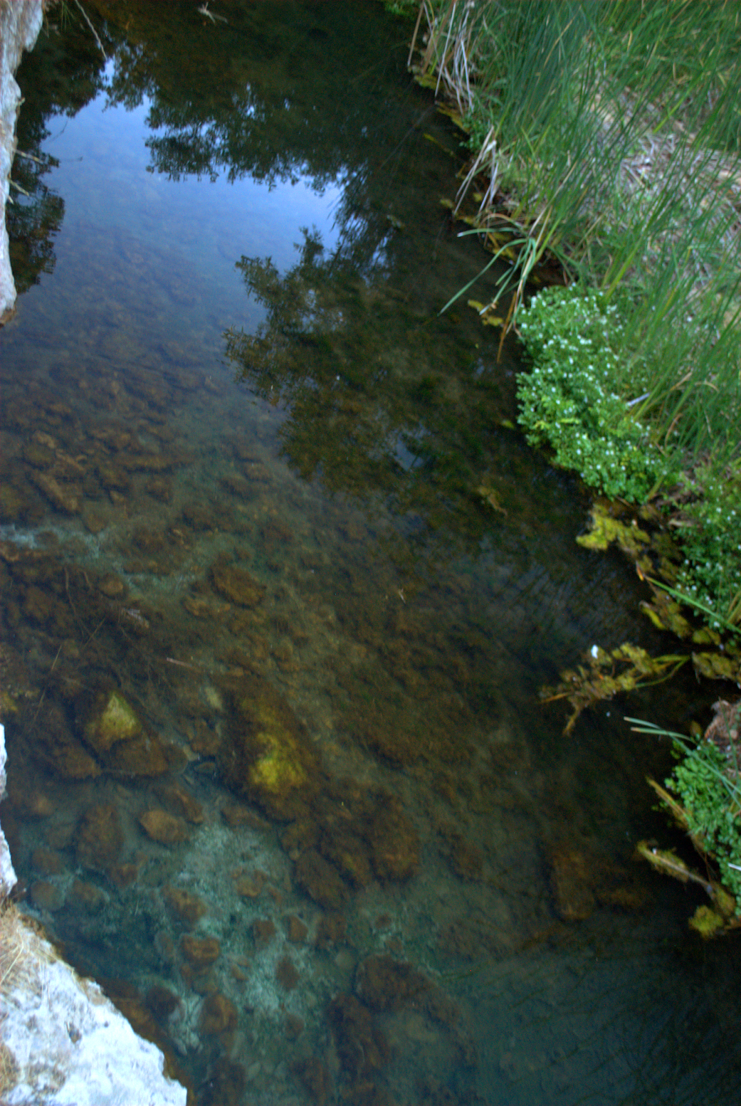
exposed, rocky area, it quickly descends into the riparian forest. Penitencia Creek was originally quite swampy and mosquito-laden, but after the creek was dammed upstream in the 1900s, it now runs year-round.
After about 1.3km, the trail comes out at a parking lot/picnic area.

From the picnic area, the path diverges to the North across the
road. If you continue North uphill, there is the route to Eagle Rock, while to the East the trail continues
towards the hot springs. If you decide to
continue East, you will cross back over the road, but on top of
an old 1913 concrete railroad bridge. This bridge was one of a second
set of railroads that took San Jose visitors to the park. The first,
the narrow-gauge Alum Rock Railroad, which connected from Downtown San
Jose to the area in front of the gazebo. Its short life was marred by
an accident where a train flipped, killing two people, and another where
a kid stuck his head out of a window right before the train entered a
tunnel... In 1911 a massive flood destroyed the railroad and tunnels. The new railroad was financially unsuccessful due to the
increasing prevalence of cars, but limped along until 1931. Two years later, the Peninsula Railway rebuilt the rails, including this
bridge. One of the two potential "death" tunnels was located near where the bridge rejoins the Southern face of the canyon, where a rocky outcropping appears.

Immediately East of where the bridge crosses over the road and rejoins the creek trail is a prominent rocky outcropping juts into the canyon, narrowing the trail.
The rock is the eponymous Alum Rock of Alum Rock Park. It was the
glistening minerals in the rock that gave Alum Rock its name.
Ironically
it is not actually composed of Alum, a source of aluminum, but mica, the early visitors evidently having been as confused with this rock as with the "meteor" earlier.
The creek trail continues onwards alongside the creek. After another kilometer of so, the canyon widens again, and another parking/picnic area appears. To the right is a small log cabin.This cabin was built in 1915 by the Native Daughters of the Golden West to honor California pioneers. This is the center of the park: on a typical weekend this area would be overrun with picnickers and families and kids.
The old 1915 Natatorum (indoor swimming pool) was located where the volleyball court is now placed. Two indoor swimming pools were built, an early 1890s version fed directly by the hot springs (as well as the reeking sulfur fumes). This was destroyed by the 1911 floods and replaced by the 1915 Natatorium, known to locals as "the Plunge". This was torn down in 1973.
The Visitor's Center is located here, and if it is open (apparently its schedule is Tues-Fri 12-4:00, Sat 12-4:30) it is a good source of info about the park.
After a short distance, you come to the final parking/picnic area of Alum Rock Park. In the 1890s-1910s, this was the location of the train stations. The Youth and Science Institute is here in a 1930s era building, though I never went inside ($3 adults, $1 children). The nature center has a few animals including birds of prey.
Continuing along the picnic area is this ornate gazebo covering for a closed spring.
After continuing past this last parking lot, Penitencia Creek Road ends with a gate. As you go through the gate, you reach the hot springs area. This area is still a geothermically active area of hot springs, smelling of sulfur and leaching minerals into Peritencia Creek
The largest remnants of the original Victorian period resorts is located here. There are at least four covered springs, some of the many springs converted into baths in Alum Rock Park, as well as two wading pools.

Three formal bridges cris-cross across the Creek. All are designed in an ornate Victorian stone.
Due to misuse and fault shifting, many of the springs had stopped running. The ones that do are now undrinkable due to agricultural contamination. Going on, the paved road gives way to a dirt path, leading first to a picnic area. Eventually after about 1.8km, you reach the intersection of the two branches of Penitencia Creek. You can then backtrack or take a steep, exposed 4km Rim Trail as it climbs the canyon wall and then descends back into the canyon. Backtrack all the way back to the second parking lot and Eagle Rock.
From the Eagle Rock Parking lot take Eagle Rock Trail uphill. The trail is a 1.2km, somewhat steep hike from the bottom to the top of Eagle Rock.
As you ascend, the views get better and better, until there is nowhere left to climb.
Eagle Rock is climbable and as well as an overlook a little further on, presents great views of East San Jose.
From Eagle Rock, backtrack down the Eagle Rock Trail and Penitencia Creek Trail to your parking.